Kevin Michael Sullivan is a visual artist based in Austin, Texas.
The work moves between form, space, material, and process. It often begins with something already present: a block, a surface, a digital model, a piece of found material, a spatial condition, or a particular way of making.
Objects are cut, fused, carved, scanned, modeled, displaced, and rebuilt. Hand tools, machines, digital systems, and found material are used interchangeably, often within the same work. One process tends to leave information for the next.
Forms develop through accumulation, removal, pressure, resistance, repetition, and revision. Curves may follow grain, structure, tooling, gravity, or circumstance. Surfaces retain traces of what has happened to them. Edges soften, seams remain, cuts become lines, and small irregularities begin to determine larger decisions.
There is an interest in the point where an object stops reading as a collection of operations and begins to register as a singular thing.
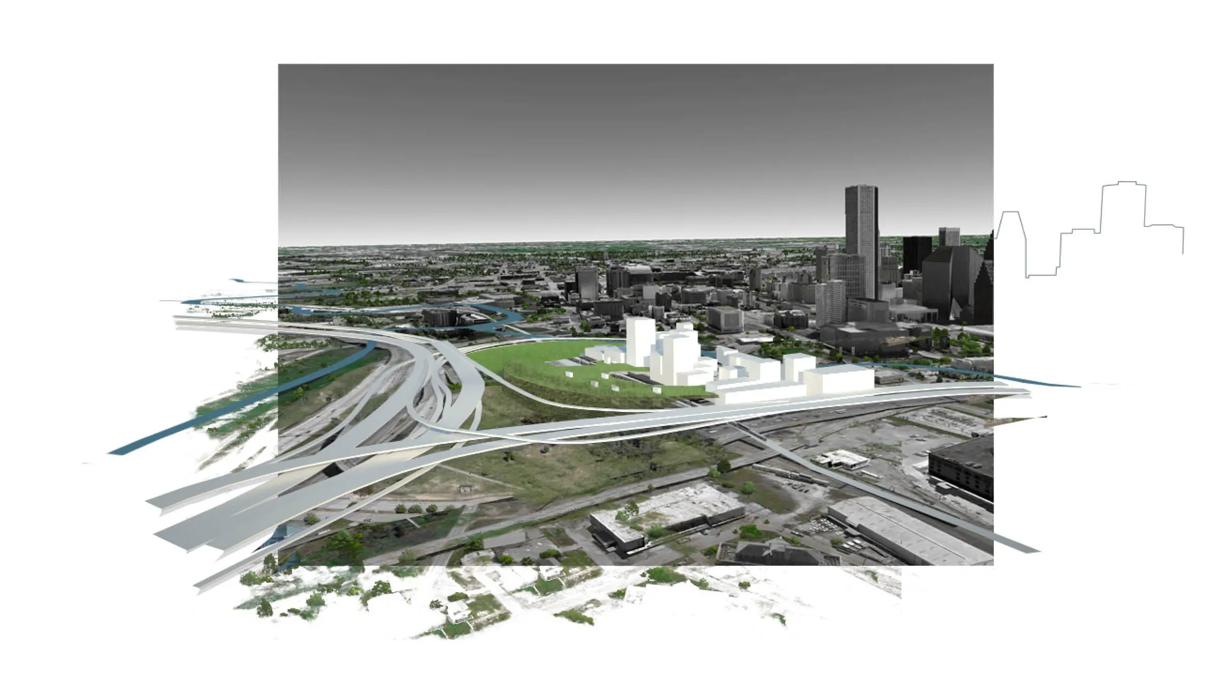
Physical and digital space are treated as part of the same field. Models, scans, simulations, and generated landscapes sit alongside wood, stone, mass, void, and constructed space. Digital tools are used less as representations of a finished object than as another place where form can be tested, distorted, measured, repeated, or made unfamiliar.
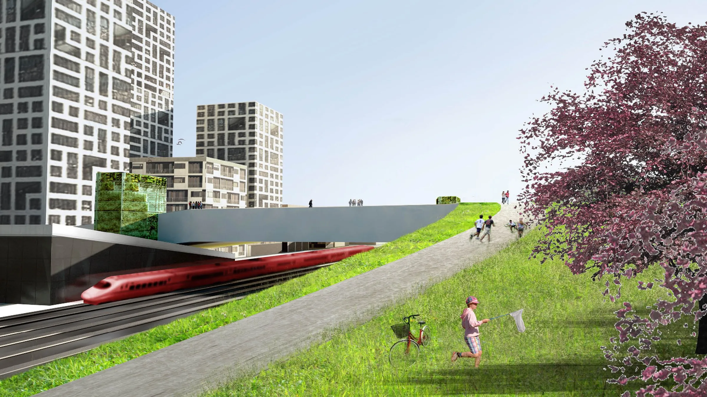
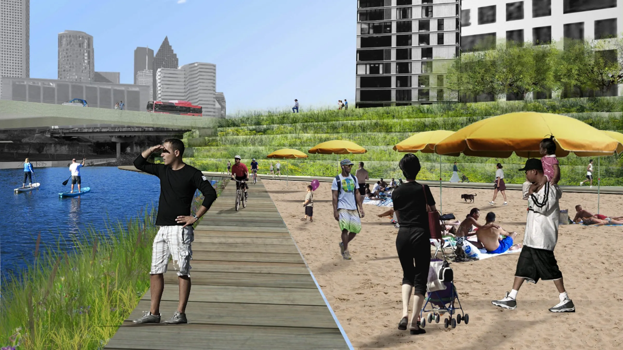
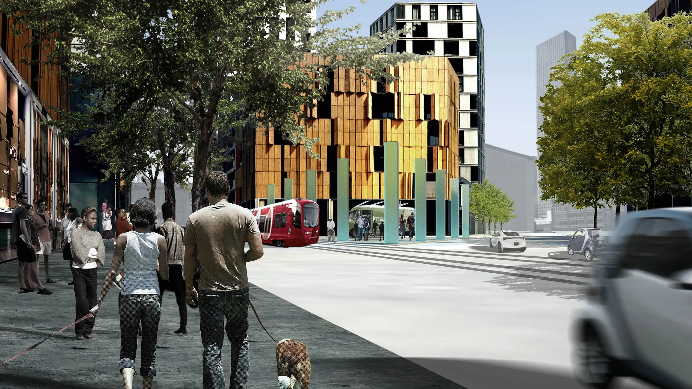
Some spaces are built. Others are modeled, implied, or only partially resolved. Some appear plausible while remaining structurally, materially, or geographically impossible. The distinction is not always especially important.
The work remains concerned with how volume is perceived, how surfaces hold light, how scale shifts around the body, and how relatively simple changes in proportion or curvature can alter the emotional character of a space or object.
There is no fixed separation between drawing, model, object, image, and environment. Each can act as a temporary version of the same idea.
The work tends to stay close to material and process, while allowing those processes to produce conditions that are harder to name: forms that feel familiar without being recognizable, spaces that seem larger than their dimensions, or objects that carry more presence than their material would suggest.